


There is latent support for housebuilding among young people struggling to get on the housing ladder...
Scotland's housing crisis means we must build on greenfield sites

Warning that councils may 'collapse' shows the depths of SNP austerity
The SNP has prioritised its own political fortunes over the ability of councils to fund basic servic...
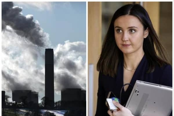
Analysis Scotland's climate U-turn leaves the Greens facing questions
The Scottish Greens will be reflecting on their government influence amid an embarrassing U-turn ...